If you read my posts about rafting down the Green River in Utah, I thought I might as well finish it up with the little side trip I took after the river adventure.
After we ended the river trip, After I went back to my hotel and cleaned up, I had time to hit the Arches National Park while I was there. After all, I might as well make the most of those 600 plus miles it took to get there.
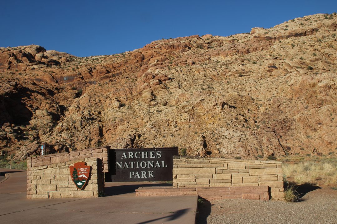
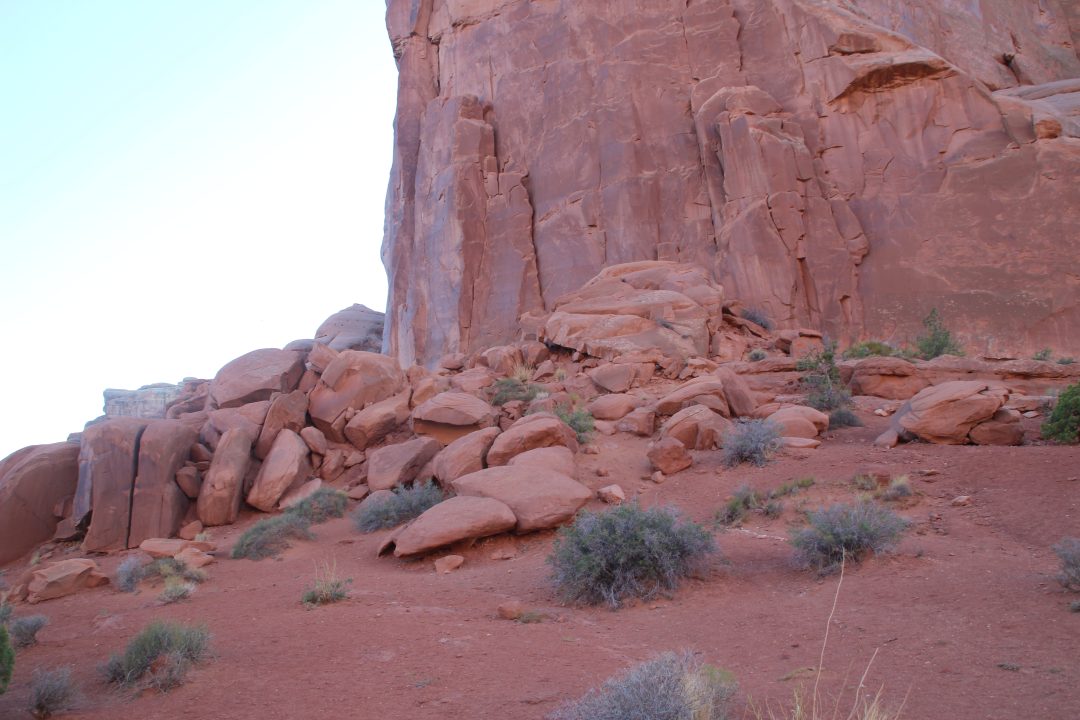
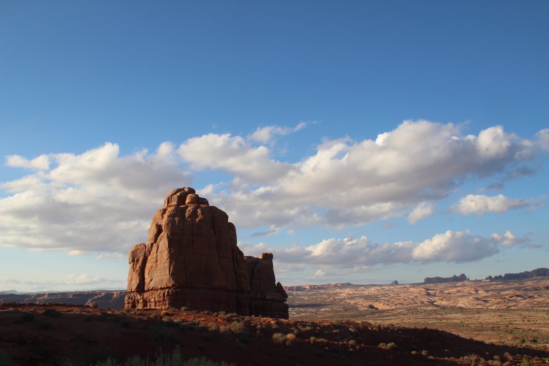
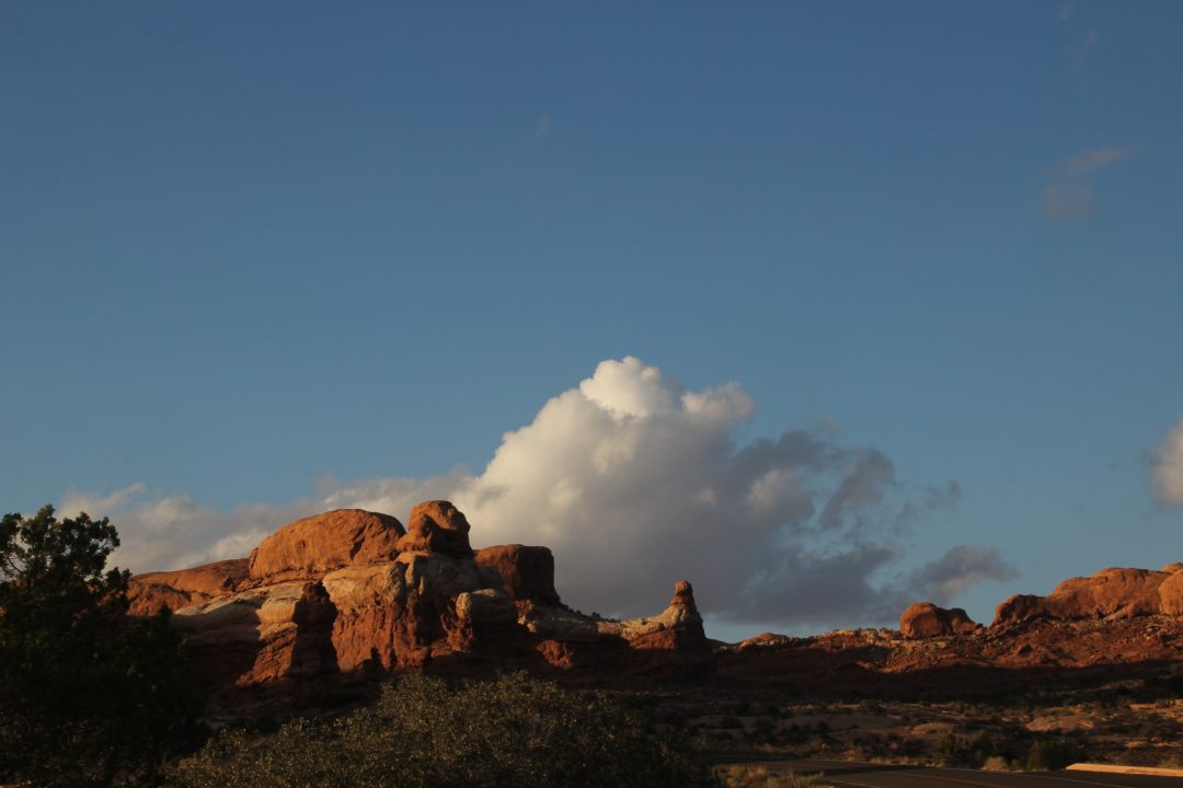
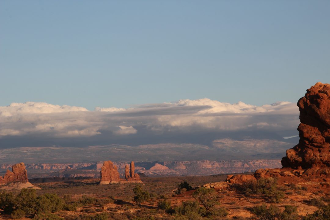
I wish I had taken a picture of the hairpin turn road leading up the side of the mountain and into the park. It was something to see in itself, but I passed up the only place I remember that I could have pulled off for a picture, which might not have been the best picture spot. Anyway, the park is designed for visitors to drive through, and they did have places along the two-lane road where you could pull over and take a picture. So I stopped from time to time and took pictures. So, without a lot of explanations, here are some of the rock formations I saw. But I will have to say, I was a bit disappointed that none of the rock formations actually made arches like I was expecting. Maybe there were some at the end of the park road, but I chose not to go to the very end, not knowing if it ends somewhere or you turn around and go back to the entrance, and I didn’t want to be caught on that hairpin turn road in the dark. And dark was fast approaching. So, here we go.
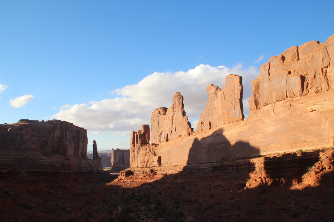
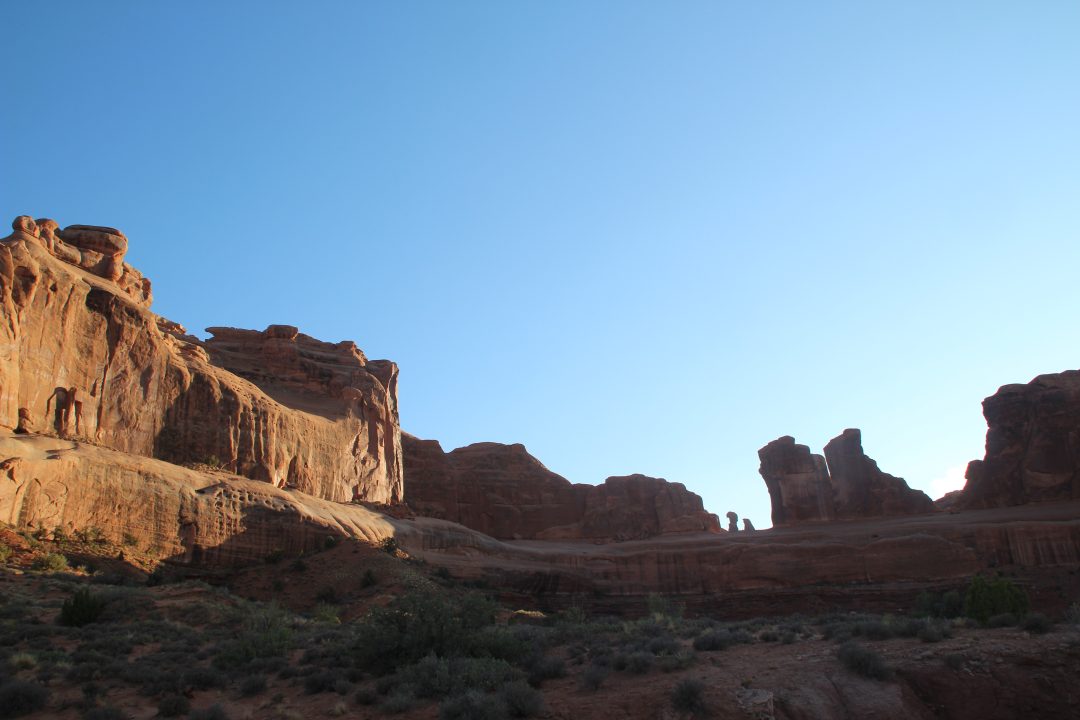
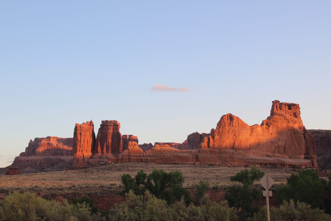
This was labeled Park Avenue and had a hiking trail that would go down to the end of all those rock formations.
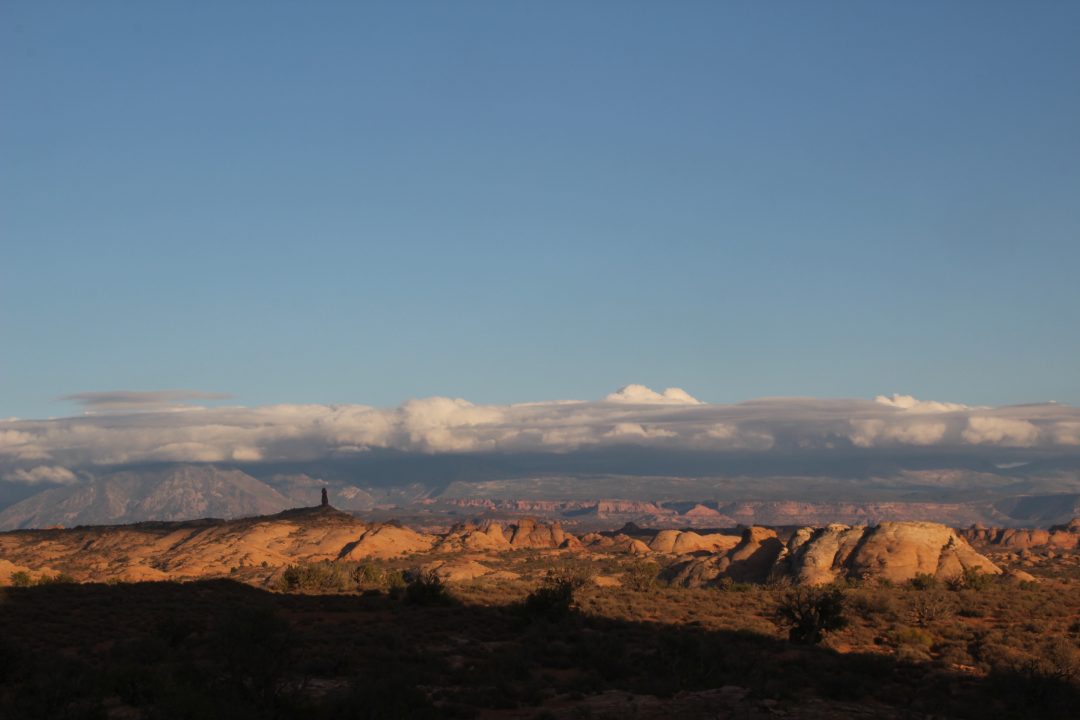
This is looking back at Moab . I was hoping for the clouds to be more distinct, but it’s not a bad shot.
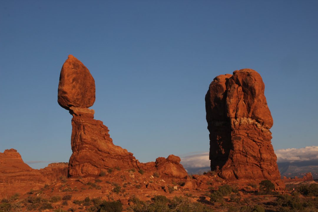
Balanced Rock had another balanced rock on that rock between the two big ones which became unbalanced in the 70s and fell off the lower rocks. One of these days the big balanced rock will no doubt fall, too.
At this point, not having seen any real arches and sundown looming, I decided to turn around and go back. Several of the women from the river invited me to join them at a Mexican food restaurant in town for supper. I went by to see if they were still there. They were still there, but pretty much through eating. I ordered chicken enchiladas and visited a bit. I’m not sure Moab is a good place to order Mexican food, but at least it was filling.
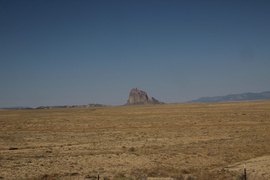
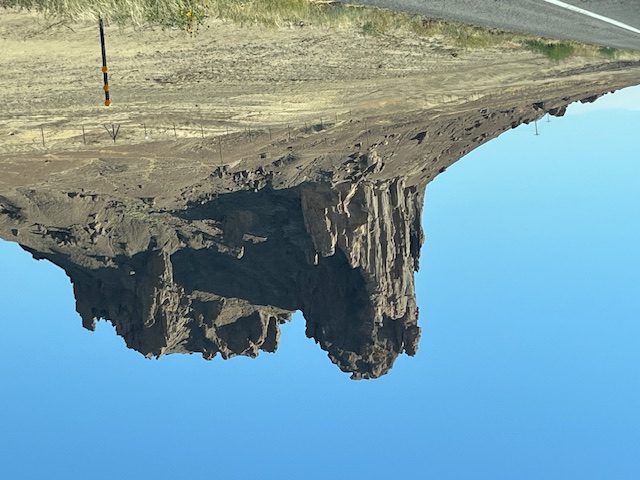
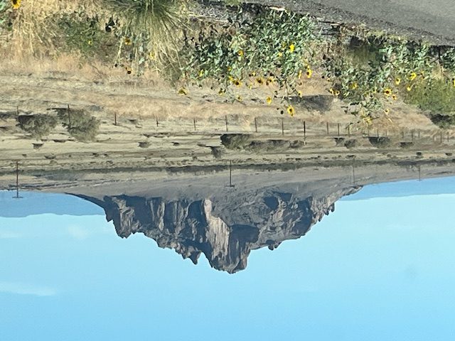
The next morning before sunrise I was off for home. I was going to trust the GPS to get me home, or at least through the parts of Utah, Colorado, and New Mexico I wasn’t as familiar with. Not the best idea since when I got to Shiprock, it sent me straight south to Gallup rather than to Farmington, which would have been shorter. But It was a pretty drive, so I wound up staying on it. Took pictures of Shiprock and then other interesting monuments and rock formations that, of course, I took pictures of from the car when I had the road to myself, some of them perhaps more impressive than Shiprock.
I wish I had taken the picture of Shiprock from its other side, which would have been more impressive, but I kept thinking I was going to get to turn in before that and get closer. Didn’t happen, and I didn’t want to go back.
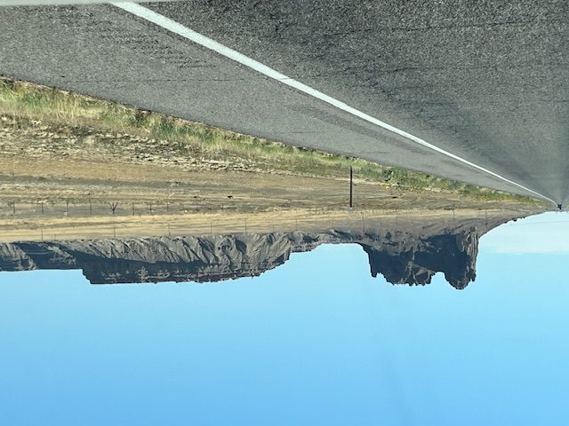
After I passed Shiprock, I passed these rock formations, which the phone labeled Shiprock Chapter as well.
I finally made it to Gallup and then through Albuquerque, and by then I knew where I was going. All was well until I was 20 miles from Santa Rosa on I-40 and came to a rolling stop for an hour due to a wreck down the road. I got bored sitting there, so I took pictures out the car window.
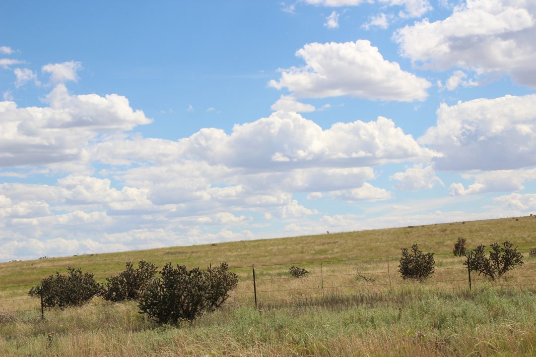
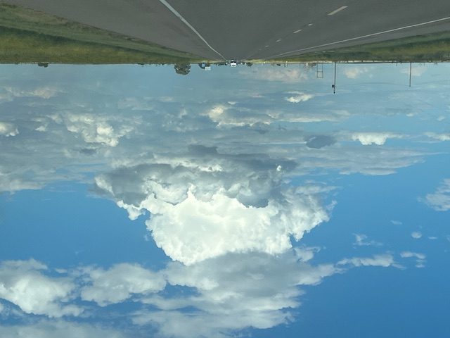
We finally got going after that hour, so I enjoyed the beautiful clouds the closer I got to the Texas border. Took this picture at Melrose.
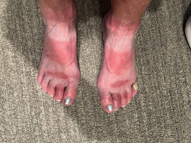
So, after twelve hours, counting that hour sitting on I-40, I made it home with my sunburned feet to three cats and one dog who seemed really glad to have me home.
Quite a trip. But it’s always good to be home.
Recent Comments